Weather patterns shape our daily lives in profound ways, influencing everything from agricultural yields to transportation safety, making their understanding crucial for modern planning and emergency preparedness.
🌍 The Foundation of Weather-Pattern Mapping
Weather-pattern mapping represents one of humanity’s most sophisticated scientific achievements, combining meteorological data, satellite imagery, computer modeling, and atmospheric physics to create comprehensive visualizations of our planet’s complex weather systems. This technology has evolved dramatically over the past century, transforming from simple barometric readings and cloud observations into intricate computational models that can predict conditions days or even weeks in advance.
At its core, weather-pattern mapping involves collecting vast amounts of atmospheric data from multiple sources including weather stations, ocean buoys, aircraft sensors, and orbiting satellites. This information is then processed through advanced algorithms that identify trends, patterns, and anomalies in temperature, pressure, humidity, wind speed, and precipitation. The resulting maps provide invaluable insights into current conditions and future developments, enabling better decision-making across countless sectors.
🔬 The Science Behind Weather Patterns
Understanding weather patterns requires grasping fundamental atmospheric principles. Air masses of different temperatures and pressures constantly interact, creating fronts, pressure systems, and circulation patterns that drive weather changes. Warm air rises and expands, while cold air sinks and contracts, creating dynamic movements that generate winds, clouds, and precipitation.
Large-scale weather patterns are influenced by several key factors including solar radiation distribution, Earth’s rotation (Coriolis effect), ocean currents, and geographical features like mountains and valleys. These elements combine to create recognizable patterns such as jet streams, trade winds, monsoons, and seasonal shifts that meteorologists track and map with increasing precision.
Key Components of Weather Systems
High-pressure systems typically bring stable, clear weather as descending air suppresses cloud formation. Conversely, low-pressure systems feature rising air that cools and condenses, often producing clouds and precipitation. The boundaries between different air masses, called fronts, are particularly important for weather forecasting as they frequently trigger significant weather events.
Tropical systems, including hurricanes and typhoons, represent some of nature’s most powerful weather patterns. These rotating storm systems develop over warm ocean waters and can be tracked days in advance, allowing coastal communities to prepare evacuations and protective measures. Similarly, winter storm patterns can be mapped to predict snowfall amounts, ice accumulation, and temperature drops critical for public safety.
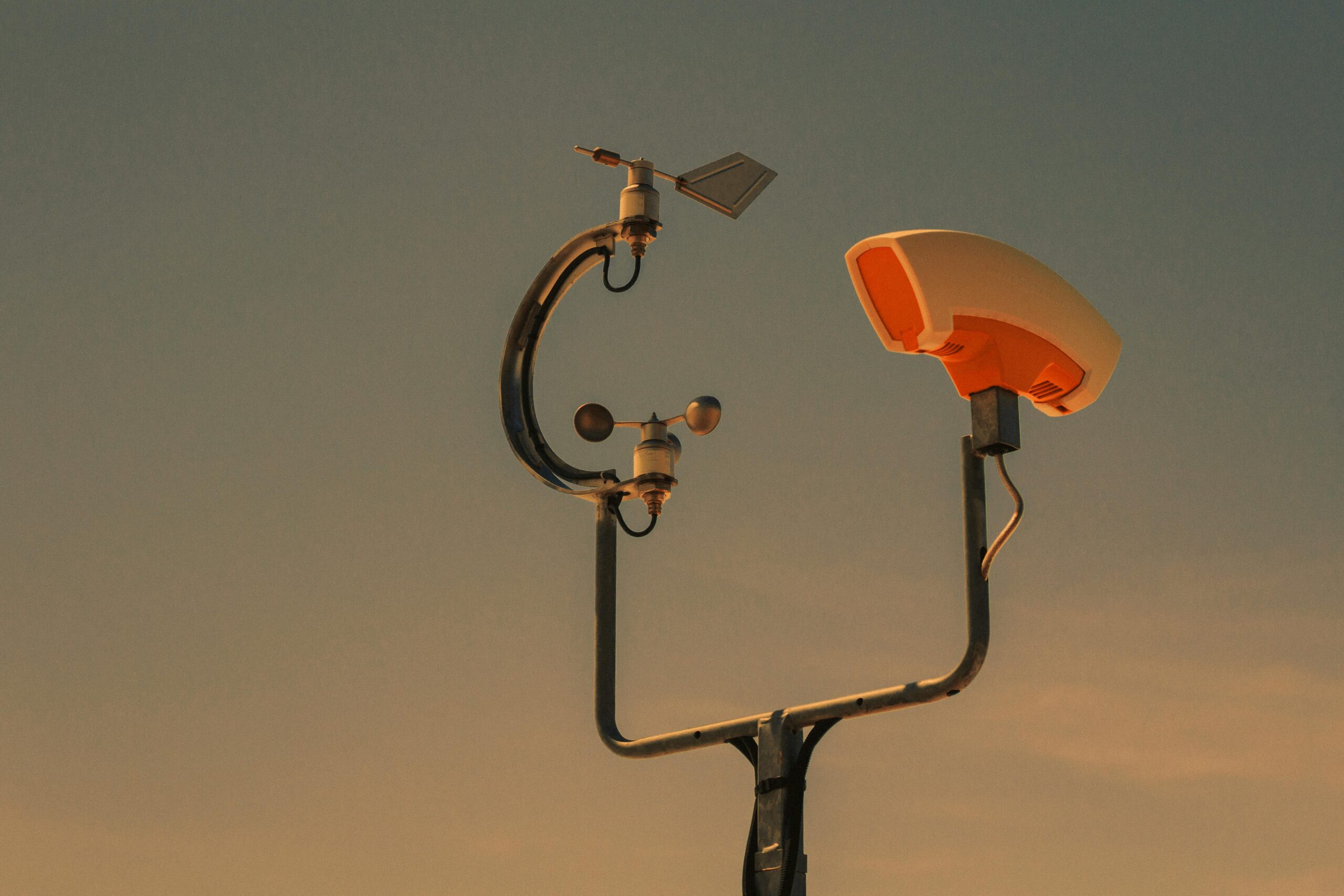
📱 Modern Tools for Weather Tracking
The digital revolution has democratized access to weather information. Sophisticated weather-pattern mapping tools that once required specialized training are now available to anyone with a smartphone. Mobile applications provide real-time radar imagery, hourly forecasts, severe weather alerts, and interactive maps that let users explore atmospheric conditions at multiple levels.
Professional-grade weather applications offer advanced features like lightning strike tracking, storm cell movement predictions, and customizable alert zones. These tools prove invaluable for outdoor enthusiasts, event planners, farmers, and anyone whose activities depend on specific weather conditions. The ability to access detailed weather-pattern maps anywhere, anytime has fundamentally changed how we interact with and respond to atmospheric conditions.
🏗️ Strategic Planning Across Industries
Weather-pattern understanding has become indispensable for strategic planning in virtually every economic sector. Construction companies consult extended forecasts to schedule concrete pours, roofing projects, and other weather-sensitive operations. A single unexpected storm can delay projects by days or weeks, costing thousands of dollars in lost productivity and potentially compromising work quality.
The transportation industry relies heavily on weather-pattern mapping to ensure safety and efficiency. Airlines adjust flight paths around turbulence and storms, reducing fuel consumption and improving passenger comfort. Shipping companies track ocean weather patterns to optimize routes and avoid dangerous seas. Even local delivery services monitor weather forecasts to adjust schedules and allocate resources appropriately.
Agriculture and Food Security
Perhaps no industry depends more critically on weather-pattern understanding than agriculture. Farmers use seasonal forecasts to make planting decisions, irrigation patterns are adjusted based on predicted rainfall, and harvest timing often depends on upcoming weather windows. Advanced weather mapping helps agricultural producers minimize crop losses, optimize water usage, and maximize yields through informed decision-making.
Climate pattern analysis extends beyond daily forecasts to include long-term trends that affect crop selection, livestock management, and farm infrastructure investments. Understanding phenomena like El Niño and La Niña cycles enables producers to anticipate drought or excessive rainfall seasons months in advance, allowing strategic adjustments to planting schedules and crop varieties.
🚨 Emergency Preparedness and Response
Accurate weather-pattern mapping has revolutionized emergency management and disaster preparedness. Advanced warning systems now provide communities with days of notice before major weather events, enabling evacuations, resource positioning, and protective measure implementation that saves countless lives annually. Hurricane forecasting accuracy has improved dramatically, with track predictions now typically within 100 miles at five days out.
Emergency managers use weather-pattern data to coordinate multi-agency responses, pre-position emergency supplies, and activate mutual aid agreements before disasters strike. Fire departments monitor wind patterns during wildfire season, while flood control authorities track rainfall patterns and snowpack levels to anticipate spring flooding risks. This proactive approach represents a fundamental shift from reactive disaster response to preventive emergency management.
Community Resilience Building
Understanding local weather patterns enables communities to build resilience against recurring weather hazards. Coastal areas prone to hurricanes implement building codes based on historical storm data, while regions experiencing frequent tornadoes establish shelter networks and warning systems tailored to local conditions. Weather-pattern analysis informs infrastructure investments, from drainage systems designed for local rainfall patterns to power grid reinforcements in high-wind areas.
💼 Economic Impact and Risk Management
Weather patterns significantly influence economic activity at local, national, and global scales. Retail businesses adjust inventory based on seasonal weather forecasts, energy companies use temperature predictions to anticipate demand, and insurance companies analyze long-term weather patterns to calculate premiums and assess risk exposure. The financial sector has developed weather derivatives and other instruments that allow businesses to hedge against weather-related risks.
Tourism and hospitality industries depend heavily on weather-pattern understanding for marketing and operational planning. Ski resorts monitor snowfall predictions months in advance, beach destinations track hurricane seasons, and outdoor recreation businesses adjust staffing based on expected weather conditions. Accurate weather information helps these businesses optimize resources and improve customer experiences.
🌡️ Climate Change and Pattern Shifts
Long-term weather-pattern mapping reveals concerning trends related to climate change. Temperature records show consistent warming trends, precipitation patterns are shifting, and extreme weather events are becoming more frequent and intense. Understanding these evolving patterns is essential for adaptation planning across all sectors of society.
Scientists use historical weather data combined with climate models to project future conditions, informing policy decisions about infrastructure investments, water resource management, and land use planning. Coastal communities examine sea-level rise projections alongside storm surge patterns to plan protective measures. Agricultural regions assess shifting growing zones and changing precipitation patterns to guide crop selection and farming practices.
Adaptation Strategies
Recognizing changing weather patterns allows communities and organizations to implement proactive adaptation strategies. Cities are redesigning storm water systems to handle more intense rainfall events, utilities are hardening infrastructure against stronger winds, and water managers are developing drought contingency plans based on projected precipitation changes. This forward-looking approach represents essential preparation for an uncertain climatic future.
🎯 Personal Applications and Daily Benefits
Weather-pattern understanding benefits individuals in countless daily situations. Planning outdoor events becomes more reliable with extended forecasts, travel decisions can account for developing weather systems, and recreational activities can be scheduled during optimal conditions. Even simple choices like what to wear or whether to carry an umbrella are informed by weather information most people now check multiple times daily.
Health considerations also connect to weather patterns. People with respiratory conditions monitor air quality forecasts, migraine sufferers track pressure changes, and those with seasonal affective disorder anticipate periods of reduced sunlight. Athletes and fitness enthusiasts optimize training schedules around weather conditions, while gardeners time planting and watering based on temperature and rainfall forecasts.
📊 Data Integration and Smart Technologies
The Internet of Things is creating unprecedented opportunities for weather-pattern integration into everyday systems. Smart home devices adjust heating and cooling based on temperature forecasts, irrigation systems activate according to precipitation predictions, and autonomous vehicles may eventually use weather data to optimize routing and safety systems. This seamless integration of weather intelligence into daily life represents the next frontier in meteorological applications.
Businesses are incorporating weather data into artificial intelligence systems that optimize operations automatically. Supply chains adjust based on predicted weather disruptions, energy grids balance loads according to temperature forecasts, and retail systems modify product displays based on approaching weather systems. This data-driven approach improves efficiency and responsiveness across countless applications.
🌐 Global Cooperation and Data Sharing
Effective weather-pattern mapping depends on international cooperation and data sharing. Weather systems cross national boundaries freely, making collaborative observation networks essential for accurate forecasting. Organizations like the World Meteorological Organization coordinate global weather monitoring efforts, establishing standards and facilitating data exchange that benefits all nations.
Developing countries particularly benefit from access to advanced weather-pattern mapping technologies and data. Improved forecasting helps vulnerable populations prepare for extreme weather, supports agricultural development, and enables better disaster risk reduction. International partnerships are expanding weather monitoring networks into previously underserved regions, improving forecast accuracy and emergency preparedness worldwide.
🔮 Future Developments and Innovations
Weather-pattern mapping continues evolving rapidly with technological advances. Artificial intelligence and machine learning are improving forecast accuracy by identifying subtle patterns in massive datasets. Next-generation satellites provide higher-resolution imagery and more frequent updates. Quantum computing promises to revolutionize weather modeling by solving complex atmospheric equations faster than ever possible.
Emerging technologies like small satellite networks and ground-based sensor arrays are densifying observation networks, capturing weather data at unprecedented spatial and temporal resolutions. These improvements will enable more accurate local forecasts, better extreme weather warnings, and enhanced understanding of atmospheric processes. The future of weather-pattern mapping looks increasingly precise and accessible.

⚡ Taking Action with Weather Intelligence
Understanding weather patterns represents just the first step—taking appropriate action based on that knowledge delivers the real benefits. Individuals should develop personal weather awareness routines, regularly checking forecasts and understanding what different weather patterns mean for their specific situations. Families should create weather emergency plans that account for local hazards identified through pattern analysis.
Organizations must integrate weather intelligence into planning and operations systematically. This includes establishing weather monitoring procedures, training personnel to interpret forecasts, and developing response protocols for various weather scenarios. Investing in reliable weather information sources and decision support tools pays dividends through improved safety, efficiency, and resilience.
Communities benefit from weather-aware cultures that value preparedness and proactive planning. Public education about local weather patterns, investment in warning systems, and regular emergency drills create populations better equipped to handle weather challenges. Building this weather intelligence into community fabric saves lives, protects property, and enhances quality of life.
The power of weather-pattern mapping ultimately lies not in the technology itself but in how effectively we use that information to make better decisions. Whether planning a weekend picnic, managing a multinational corporation, or coordinating disaster response, understanding atmospheric patterns provides critical insights that inform smarter choices. As weather patterns grow more variable and extreme events more common, this knowledge becomes increasingly essential for thriving in our dynamic atmospheric environment.